USE Cases
Debris & Remediation Activities
Protected Tree Assessments & Permitting
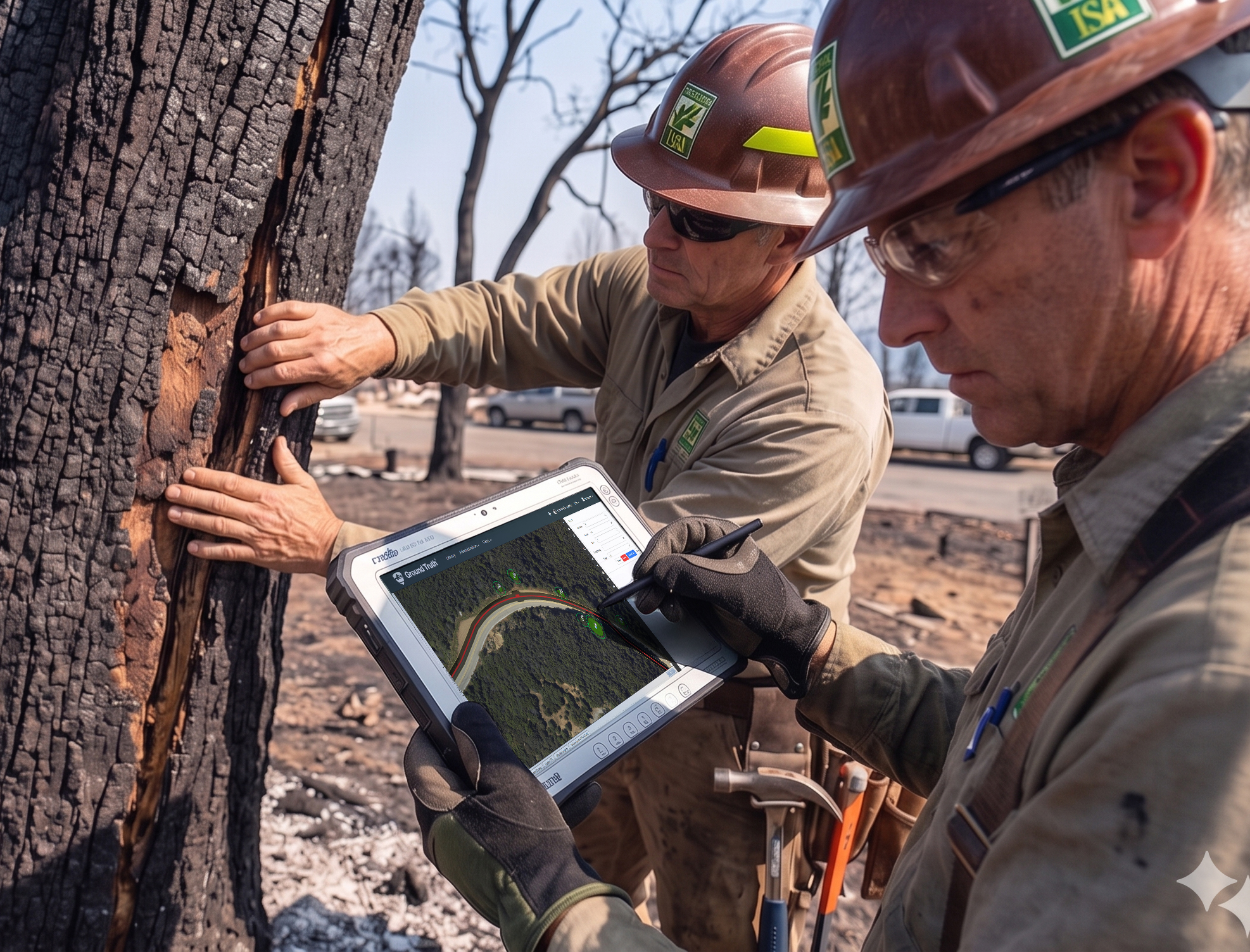
Post-Disaster Tree Assessments
Environmental operations depend on accurate, timely information. But most teams are working with incomplete data, disconnected systems, and manual workflows—making it difficult to track work in the moment and even harder to prove it after the fact.
Ground Truth turns fragmented data into a continuous operational flow—capturing what’s happening in the field, connecting it across teams, and translating it into clear, real-time decisions. Every step stays connected, traceable, and ready for review.

Ingest and generate data from field activity and earth observation sources.
Bring together teams, assets, locations, and workflows into a single operational view.

Provide real-time insights, decision support, and structured reporting that stands up to scrutiny.
Ground Truth is built around how operations actually happen in the field—not how data is traditionally entered after the fact. By starting with real-world data and designing for field conditions, it gives teams a more accurate, real-time understanding of what’s happening without relying on disconnected tools or delayed inputs.
Instead of forcing teams to stitch together workflows across systems, Ground Truth connects execution directly to documentation in one place. The result is faster, more reliable operations, reduced dependence on custom GIS setups, and a shorter path from raw data to actionable decisions.
Ground Truth doesn’t just help you track work—it ensures that work is captured, verified, and ready when it needs to be reviewed.
Ground Truth is designed for operations where there’s no margin for error. In post-disaster conditions, environmental assessments, and field-based programs, teams don’t have the luxury of delayed data or unclear reporting—every action needs to be accurate, timely, and accountable, where accuracy, timing, and documentation directly impact outcomes.
By aligning field activity directly with structured documentation, Ground Truth ensures teams aren’t just executing work—they’re capturing it in a way that is verifiable, compliant, and defensible. From agency-aligned workflows to proven geospatial infrastructure, it is built to support operations that need to stand up to review—and ultimately get paid.